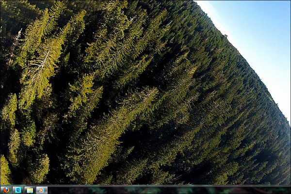
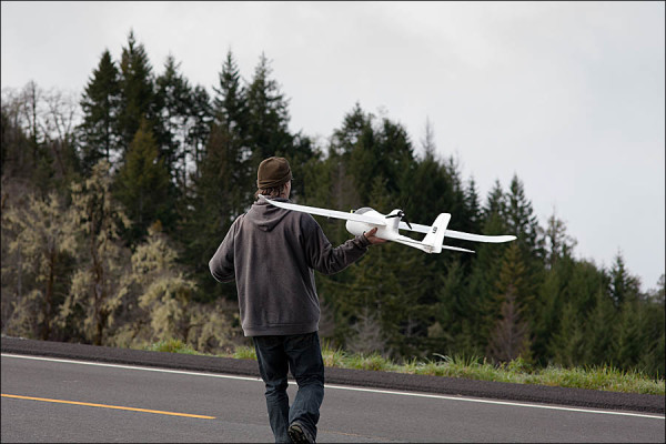
Michael Taylor, tall tree discoverer. just mailed me a video file from one of his recent drone test flights over a west coast forest. Michael has assembled a couple of drones, and programmed them to follow certain flight paths and elevation, to take video or photographs of trees and forest. The pic below is a screen capture, about 1/2 way through this nearly 20 minute long flight, at a point where the drone was banking to the left. The drone can fly continuous for up to an hour, but most of the flights are much shorter. Taylor needs to program each move of the drone. Where it needs to turn, where to gain elevation and where to maintain elevation. It does not sense obstacles and react or compensate accordingly. So if there is a hill between launch point A (home) and point B (destination), Michael must program an elevation rise and coordinate point so the drone’s GPS let’s it know when to rise over the top with room to spare.


Comments are closed, but trackbacks and pingbacks are open.